- Medium and large format aerial imagery for the highest accuracy and reliability
- Unmatched inspection productivity and versatility
Mapping & Surveying

3D MODELLING | 2D MAPPING | 4-BAND | AGRICULTURE & FORESTRY
Precision-driven high-resolution aerial photography cameras and solutions that simplify mapping and surveying processes. Effortless execution of photogrammetry mapping missions, capturing high-resolution aerial imagery for 2D and 3D mapping.
Inspection

Unmatched inspection productivity and versatility
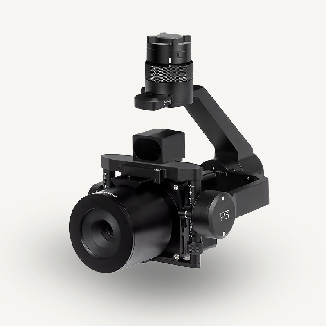
The Phase One P3 Payload provides a customizable solution for all your inspection needs. Choose your drone, your camera, and your lens, from our selection, to get all the finest details in one shot.Our iXM cameras are uniquely designed for UAVs and are fast, highly responsive, robust, and easily integrate with your aerial photography drone for diverse inspection and mapping missions. iXM cameras are available with a range of RSM lenses to ensure that your Phase One P3 Payload gives you the best image quality and performance.
Compatibility
- M300
In The Box
- 1x Phase One P3 50MP & 100MP


