Description
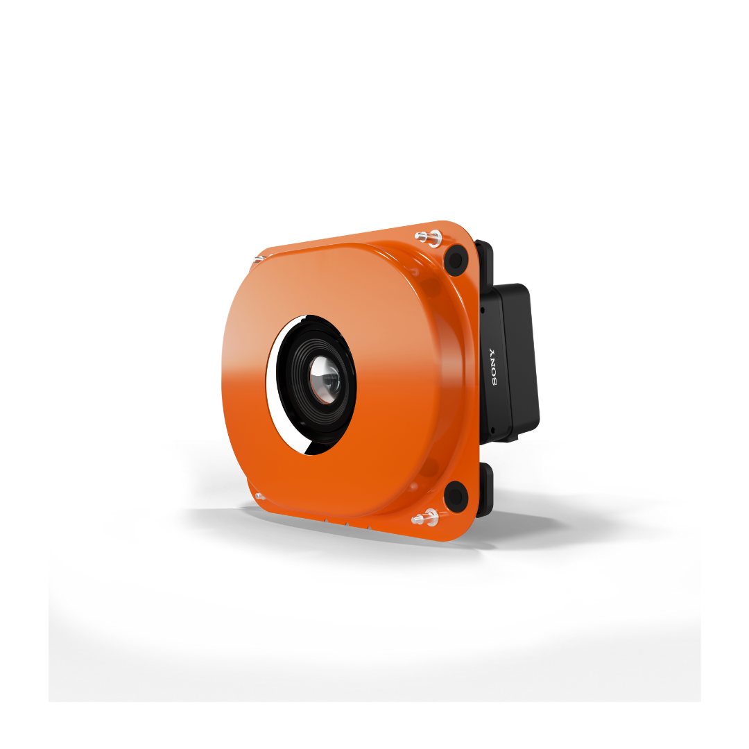
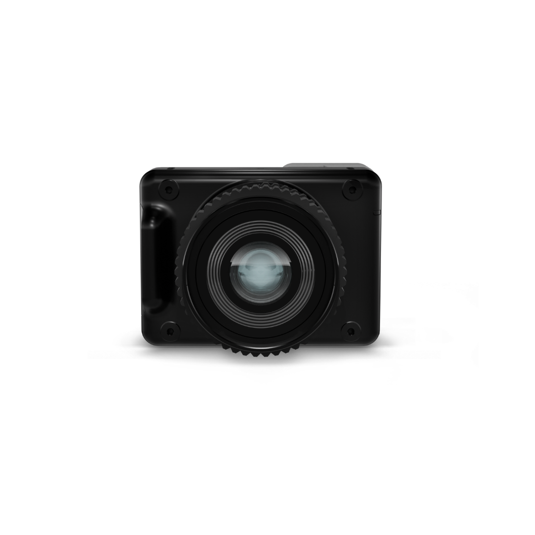
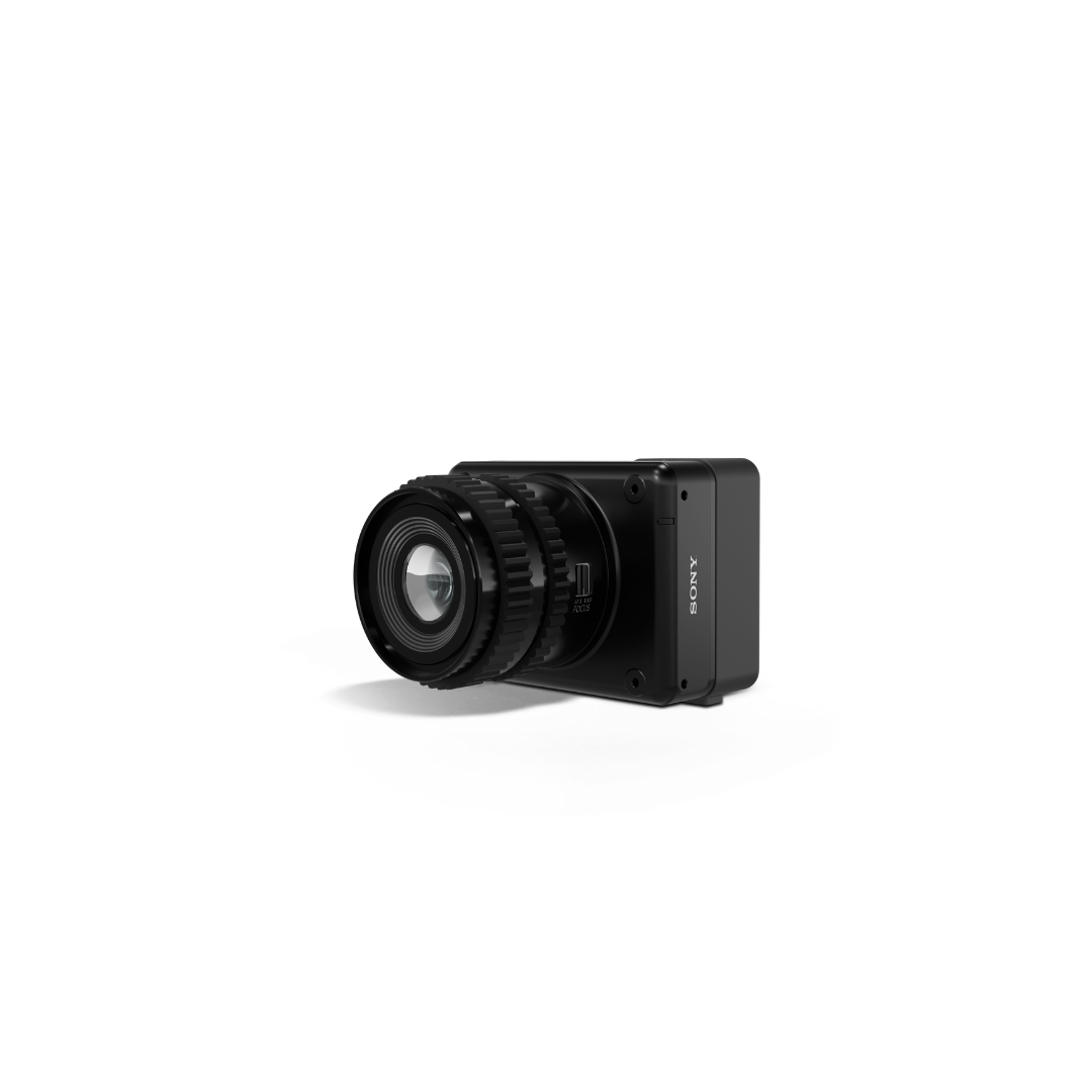
Wingtra MAP61 Payload kit
Pre-Order Now
Note: This item is currently on pre-order. Should you place your pre-order now, you will be among the first to receive the item once stock arrives. Do keep in mind, although stock is guaranteed to arrive, we do not yet have an ETA. Once we have an ETA you will be updated.
The Wingtra MAP61 is Wingtra’s most efficient mapping sensor, engineered for both large-scale 2D mapping and high-resolution 3D modeling. Its impressive 61-megapixel full-frame sensor captures stunningly detailed maps across expansive areas.
Optimized Imaging with Tilted Oblique Mount
Designed with a tilted oblique mount, the MAP61 excels at high-resolution single-grid capture of vertical structures, making it ideal for complex environments like urban developments, mining highwalls, and construction sites.
Wide Field of View
With a 93° field of view, the sensor covers more ground in fewer images. This reduces both flight and processing times, enabling faster project completions without compromising accuracy.
Extensive Coverage Per Flight
Capable of mapping up to 460 hectares (1140 acres) in a single flight at 120 meters altitude with a ground sample distance (GSD) of 2.7 cm per pixel, the MAP61 maximizes operational efficiency.
Accuracy and Precision
The sensor delivers horizontal absolute accuracy down to 2 cm (0.8 inches) and vertical accuracy down to 4 cm (1.6 inches) with PPK processing, all without the need for ground control points.
Unlocking New Possibilities
The MAP61 opens up new frontiers for mapping environments that were once too challenging for accurate and efficient aerial surveying, streamlining workflows across surveying, urban planning, mining, and infrastructure management.
Specifications
| Specifications | Details |
|---|---|
| Sensor Type | Full-frame |
| Megapixels | 61 MP |
| Payload Weight (incl. mount) | 585 g (1.29 lb) |
| Lowest Possible GSD | 1.2 cm/px (0.47 in/px) |
| Max Coverage at Lowest GSD* | Up to 200 ha (500 ac) at 54 m (180 ft) altitude |
| Max Coverage at 120 m (400 ft) | Up to 460 ha (1140 ac) at 2.7 cm/px (1.06 in/px) GSD |
| Horizontal Absolute Accuracy (RMS) with PPK (w/o GCPs) | Down to 2 cm (0.8 in) |
| Vertical Absolute Accuracy (RMS) with PPK (w/o GCPs) | Down to 4 cm (1.6 in) |
| Sensor Size X | 35.7 mm (1.4 in) |
| Sensor Size Y | 23.9 mm (0.93 in) |
| Shutter Type | Focal plane |
| Pixels in X | 9504 |
| Pixels in Y | 6336 |
| Lens Focal Length | 17 mm (0.67 in) |
| 35mm Equivalent Focal Length | 17 mm (0.67 in) |
| Front Tilt Angle (off-nadir) | 15° |
| Vertical Field of View | 70° (-20° ... 50°) |
| Horizontal Field of View | 93° (-47° ... 47°) |
| Minimal Trigger Time | 0.5 s |
| Minimal Trigger Distance | 8 m (26 ft) |
Payment & Security
Your payment information is processed securely. We do not store credit card details nor have access to your credit card information.
OUR PARTNER BRANDS

We are honored to have been awarded Sourcewell and Canoe contracts, enhancing procurement efficiency for government, education, and non-profit agencies across North America - View Details
You may also like
Recently viewed
FAQs
Yes, we provide FREE shipping across Canada for orders over $199. Orders under $199 have a flat rate of $25.
Repair service is eligible for free shipping if order value is over $300.
Delivery times depend on your location and the selected shipping method. Estimated delivery times and shipping options are provided at checkout.
If there are any manufacturing defects with your purchase, you may return the product within a specified period, provided it is unused and in its original packaging. We do not provide any returns on repairs parts.
As an authorized distributor, our products typically come with a manufacturer's warranty that covers manufacturing defects for a specified period. The exact duration and terms may vary by product. Please refer to the product details for more information.
Our customer support team is available to assist you with any technical issues or service needs. You can simply reach out to us, and we'll guide you through troubleshooting steps or arrange for service if necessary.
Yes, we recommend reviewing the safety instructions provided with your product. Additionally, ensure compliance with local regulations and best practices to ensure safe and proper use.
Yes, we offer pre-orders for select upcoming products. Pre-order availability, estimated release dates, and any exclusive offers are listed on the respective product pages.
We offer special pricing and support for business customers or bulk orders. Please contact our sales team for customized quotes and additional information.
If you still have any questions, you can contact us below and we will get back to you as soon as possible.


