Description
TerraPhoto
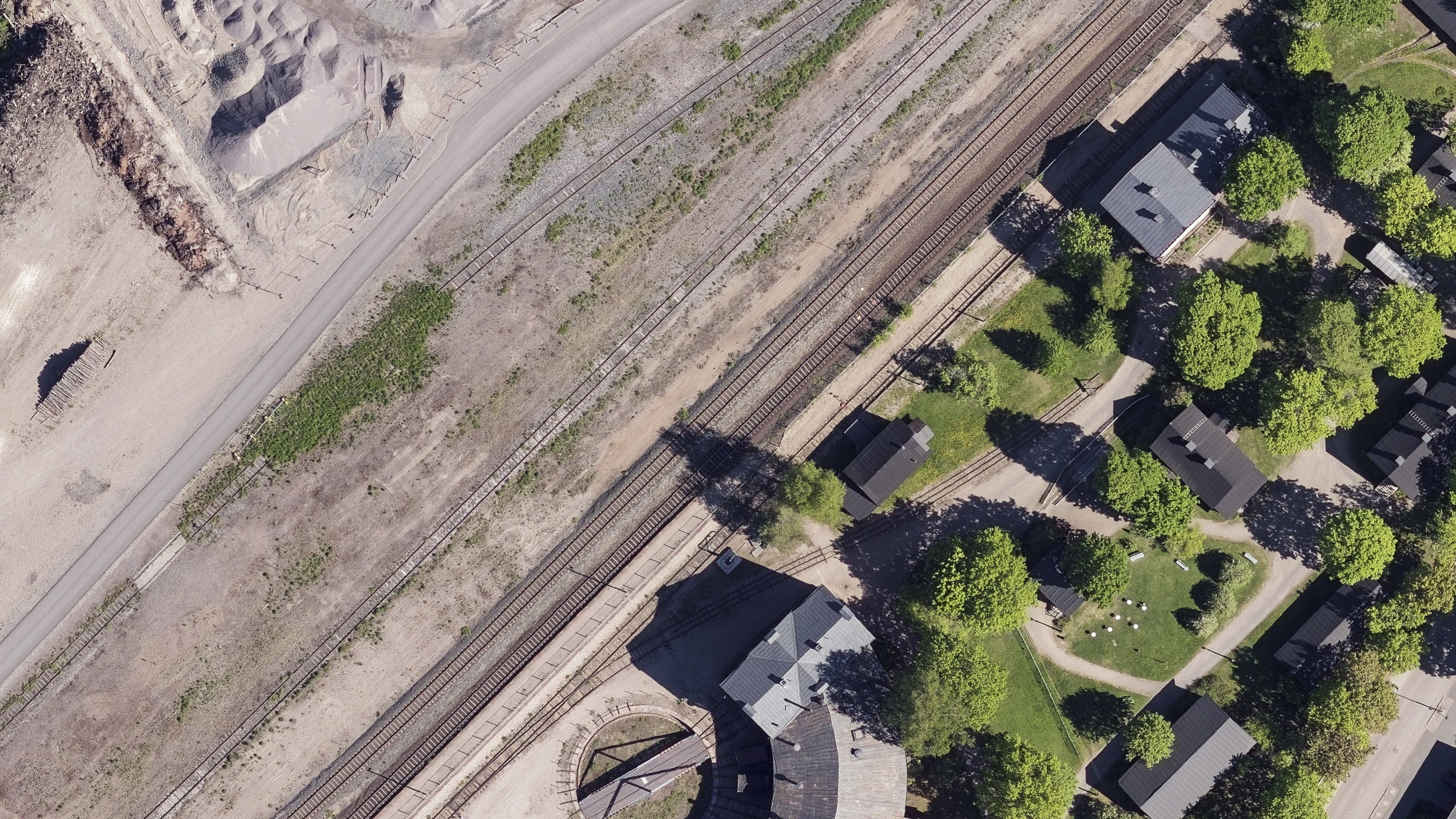
TerraPhoto is specifically developed for processing images captured together with laser data during a survey mission. The software enables the production of rectified images and ortho mosaics based on ground model that has been extracted from the laser data. The positioning of the source images can be refined by using tie points for image-to-image adjustment while ground control point can be involved for improving the absolute accuracy of the image block. With additional functionality, such as color adjustment options, the creation of selection shapes for several object types or areas (e.g. buildings, water), the inclusion of vector models for true-ortho photo production, TerraPhoto lets you create ortho photos of good positional and color-coordinated quality.
TerraPhoto is available in Full, UAV and Lite versions
Functionality matrix comparing TerraPhoto, TerraPhoto UAV and TerraPhoto Lite
Ortho-rectification of Images and Data Visualization
Besides starting a camera calibration from scratch, TerraPhoto is able to convert calibration files from several mobile and airborne systems into its own camera file format. It reads numerous image formats, such as ECW, GeoTIFF, TIF, BMP, CIT, COT, RLE, PIC, PCX, GIF, JPG2000 and PMG.
Combine TerraPhoto with other Terra applications.
TerraPhoto offers many tools for visualizing laser and image data together, partly in combination with tools from TerraScan and TerraModeler. This includes the opportunity of draping ortho photos on a ground model or on building roofs, the creation of wall textures from horizontally-looking cameras of mobile or airborne systems, as well as the display of rendered views. With TerraPhoto you can also create fly-through animations from laser and image data in an easy and intuitive way. Finally, the extraction of color values from images or ortho photos to laser points can be performed with TerraPhoto and TerraScan.
Applications
Urban planning | Architectural and historical site documentation | Asset visualization and management | Emergency response, security and defense | Noise, flood, solar, shadow, visibility, lightning and wind analysis | Accident and catastrophe risk assessment | Virtual reality | Marketing | Visualization for communication of information to citizen | Radio-wave propagation | Fly-through animations | etc.
Payment & Security
Your payment information is processed securely. We do not store credit card details nor have access to your credit card information.
OUR PARTNER BRANDS

We are honored to have been awarded Sourcewell and Canoe contracts, enhancing procurement efficiency for government, education, and non-profit agencies across North America - View Details
You may also like
Recently viewed
FAQs
Yes, we provide FREE shipping across Canada for orders over $199. Orders under $199 have a flat rate of $25.
Repair service is eligible for free shipping if order value is over $300.
Delivery times depend on your location and the selected shipping method. Estimated delivery times and shipping options are provided at checkout.
If there are any manufacturing defects with your purchase, you may return the product within a specified period, provided it is unused and in its original packaging. We do not provide any returns on repairs parts.
As an authorized distributor, our products typically come with a manufacturer's warranty that covers manufacturing defects for a specified period. The exact duration and terms may vary by product. Please refer to the product details for more information.
Our customer support team is available to assist you with any technical issues or service needs. You can simply reach out to us, and we'll guide you through troubleshooting steps or arrange for service if necessary.
Yes, we recommend reviewing the safety instructions provided with your product. Additionally, ensure compliance with local regulations and best practices to ensure safe and proper use.
Yes, we offer pre-orders for select upcoming products. Pre-order availability, estimated release dates, and any exclusive offers are listed on the respective product pages.
We offer special pricing and support for business customers or bulk orders. Please contact our sales team for customized quotes and additional information.
If you still have any questions, you can contact us below and we will get back to you as soon as possible.


