Description
TerraScan
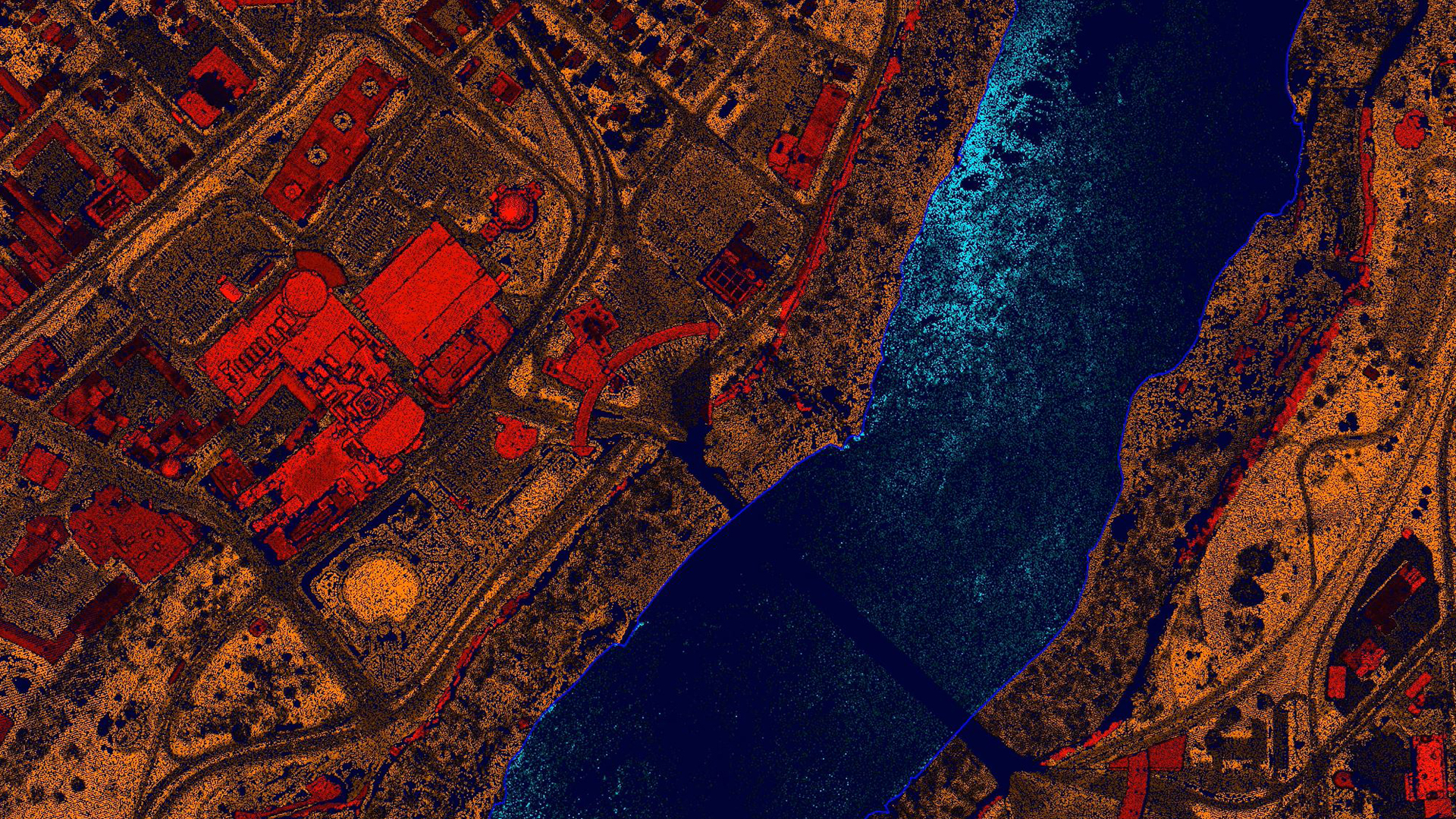
TerraScan is the main application in the Terrasolid Software family for managing and processing all types of point clouds. It offers import and project structuring tools for handling the massive number of points of a laser scanning campaign as well as the corresponding trajectory information. Various classification routines enable the automatic filtering of the point cloud.
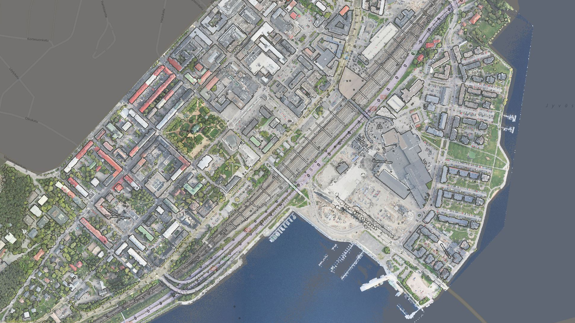
Point cloud management, processing and visualization is only one part of TerraScan. In addition, the software provides automated tools for creating 3D vector data based on the laser points. Users can produce 3D vector models of buildings (up to LOD2) automatically over nationwide areas, vectorize power lines, run corridor analysis reporting danger objects or analyze road surface condition or detect paint lines and curb stones. The results from the fully automatic classification can be refined by using half-automatic and manual classification tools in combination with versatile 3D point cloud visualization options.
Most of the automatic classification routines can be combined in macros for batch processing. In combination with batch processing macros can be executed outside TerraScan and MicroStation, even on other workstations over a LAN.
TerraScan supports several import and export formats, including the LAS and LAZ formats, TerraScan Binary and TerraScan Fast Binary formats, as well as ASCII formats that can be defined according to the users’ needs.
TerraScan is available in Full, UAV and Lite versions
Functionality matrix comparing TerraScan, TerraScan LITE, and TerraScan UAV
Go even further with TerraScan
Automatic classification routines can be combined in macros for batch processing. Using TerraBatch macros can be executed outside TerraScan even on other workstations over a LAN. License to run TerraBatch on the same computer than TerraScan is included giving you the ability to utilize your computer 24×7.
TerraScan supports several import and export formats, including the LAS and LAZ formats, TerraScan Binary formats, as well as user defined ASCII formats.
Well tested product from the market leader
TerraScan is known to all professionals working with LiDAR data. It is a real multipurpose tool enabling our customers work in both producing the data and getting deliverables for different industries. Deliverables include high quality classified point cloud data or vector data to be used in various engineering and maintenance applications.
Applications
Urban planning | Architectural and historical site documentation | Asset visualization and management | Emergency response, security and defense | Noise, flood, solar, shadow, visibility, lightning and wind analysis | Accident and catastrophe risk assessment | Virtual reality | Marketing | Visualization for communication of information to citizen | Radio-wave propagation | Fly-through animations | etc.
Payment & Security
Your payment information is processed securely. We do not store credit card details nor have access to your credit card information.
OUR PARTNER BRANDS

We are honored to have been awarded Sourcewell and Canoe contracts, enhancing procurement efficiency for government, education, and non-profit agencies across North America - View Details
You may also like
Recently viewed
FAQs
Yes, we provide FREE shipping across Canada for orders over $199. Orders under $199 have a flat rate of $25.
Repair service is eligible for free shipping if order value is over $300.
Delivery times depend on your location and the selected shipping method. Estimated delivery times and shipping options are provided at checkout.
If there are any manufacturing defects with your purchase, you may return the product within a specified period, provided it is unused and in its original packaging. We do not provide any returns on repairs parts.
As an authorized distributor, our products typically come with a manufacturer's warranty that covers manufacturing defects for a specified period. The exact duration and terms may vary by product. Please refer to the product details for more information.
Our customer support team is available to assist you with any technical issues or service needs. You can simply reach out to us, and we'll guide you through troubleshooting steps or arrange for service if necessary.
Yes, we recommend reviewing the safety instructions provided with your product. Additionally, ensure compliance with local regulations and best practices to ensure safe and proper use.
Yes, we offer pre-orders for select upcoming products. Pre-order availability, estimated release dates, and any exclusive offers are listed on the respective product pages.
We offer special pricing and support for business customers or bulk orders. Please contact our sales team for customized quotes and additional information.
If you still have any questions, you can contact us below and we will get back to you as soon as possible.


