Description
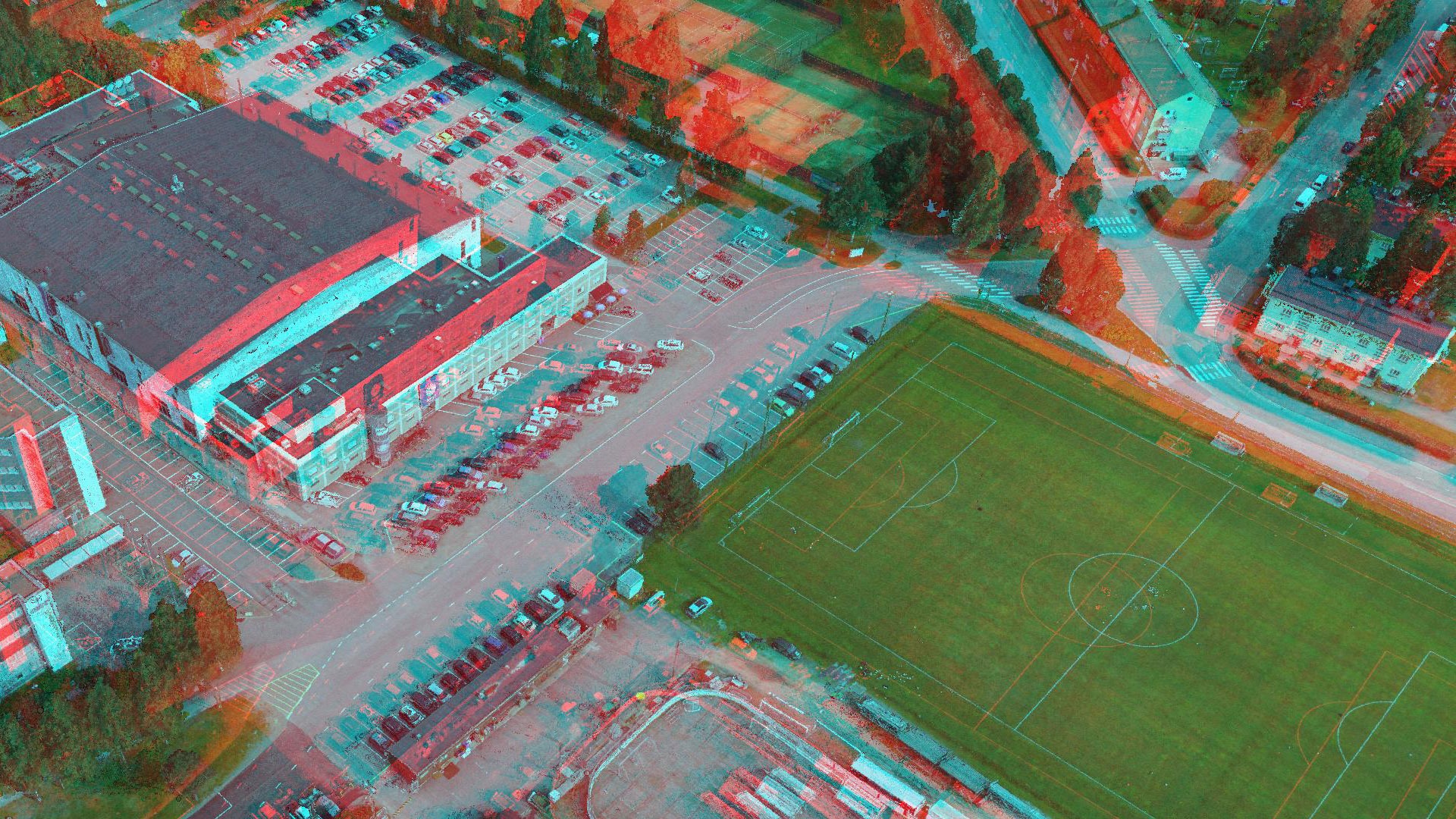
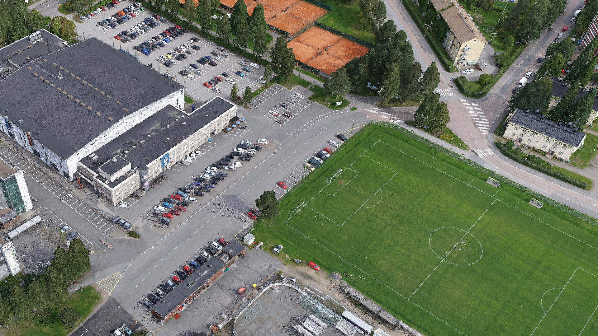
TerraStereo is a stand-along application for visualizing very large point clouds. It uses high-performance graphics boards for rendering huge amounts of points fast and in high quality.


Interactive group selecting and editing tool of TerraStereo. Cleaning the reflection artifacts from terrestrial LiDAR data.
The software enables you to:
- Visualize up to 50 billion points that are organized in a TerraScan project
- Perform visual analysis and quality check in both, small- and large-scale displays
- Navigate through the point cloud freely or based on TerraScan trajectory files
- Create animations
- View laser data in stereo mode and create stereo screen captures
- Combine different visualization channels to improve the perceptibility of objects in the point cloud
- Switch point classes on/off
- Apply elevation exaggeration to the point cloud for specific analysis tasks
- Measure distances within the point cloud
- Digitize line vector elements and export them to TerraSurvey
-
- elevation, intensity and class coloring
- color by RGB values
- shaded surface display
- point density coloring
- TerraZ rendering method for masking foreground objects
- different quality levels for point rendering
Applications
Urban planning | Architectural and historical site viewing and documentation | Asset visualization | Virtual reality | Marketing | Digital Twin Visualization | Fly-through animations | etc.
Payment & Security
Your payment information is processed securely. We do not store credit card details nor have access to your credit card information.
OUR PARTNER BRANDS

We are honored to have been awarded Sourcewell and Canoe contracts, enhancing procurement efficiency for government, education, and non-profit agencies across North America - View Details
You may also like
Recently viewed
FAQs
Yes, we provide FREE shipping across Canada for orders over $199. Orders under $199 have a flat rate of $25.
Repair service is eligible for free shipping if order value is over $300.
Delivery times depend on your location and the selected shipping method. Estimated delivery times and shipping options are provided at checkout.
If there are any manufacturing defects with your purchase, you may return the product within a specified period, provided it is unused and in its original packaging. We do not provide any returns on repairs parts.
As an authorized distributor, our products typically come with a manufacturer's warranty that covers manufacturing defects for a specified period. The exact duration and terms may vary by product. Please refer to the product details for more information.
Our customer support team is available to assist you with any technical issues or service needs. You can simply reach out to us, and we'll guide you through troubleshooting steps or arrange for service if necessary.
Yes, we recommend reviewing the safety instructions provided with your product. Additionally, ensure compliance with local regulations and best practices to ensure safe and proper use.
Yes, we offer pre-orders for select upcoming products. Pre-order availability, estimated release dates, and any exclusive offers are listed on the respective product pages.
We offer special pricing and support for business customers or bulk orders. Please contact our sales team for customized quotes and additional information.
If you still have any questions, you can contact us below and we will get back to you as soon as possible.


