


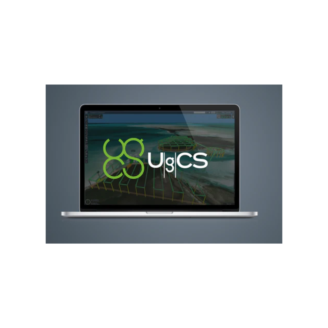
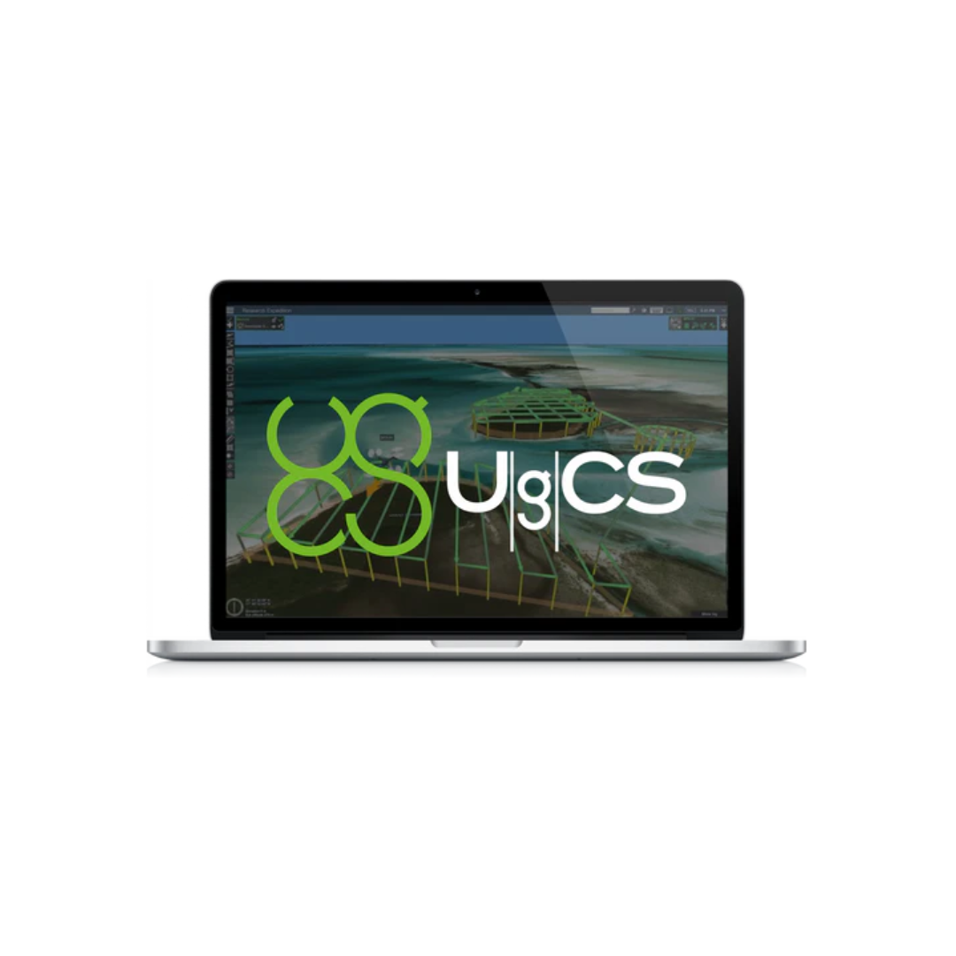


Description
UgCS Pro Perpetual
per user
one-time purchase
including first year support
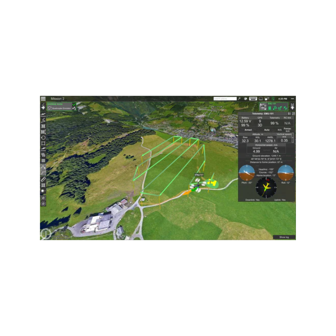
Main Features:
-
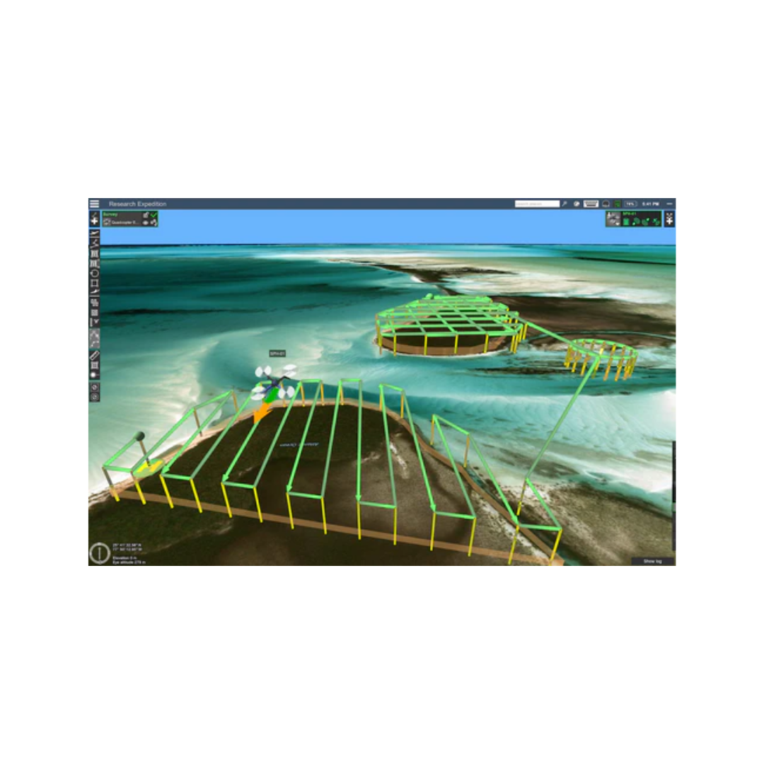
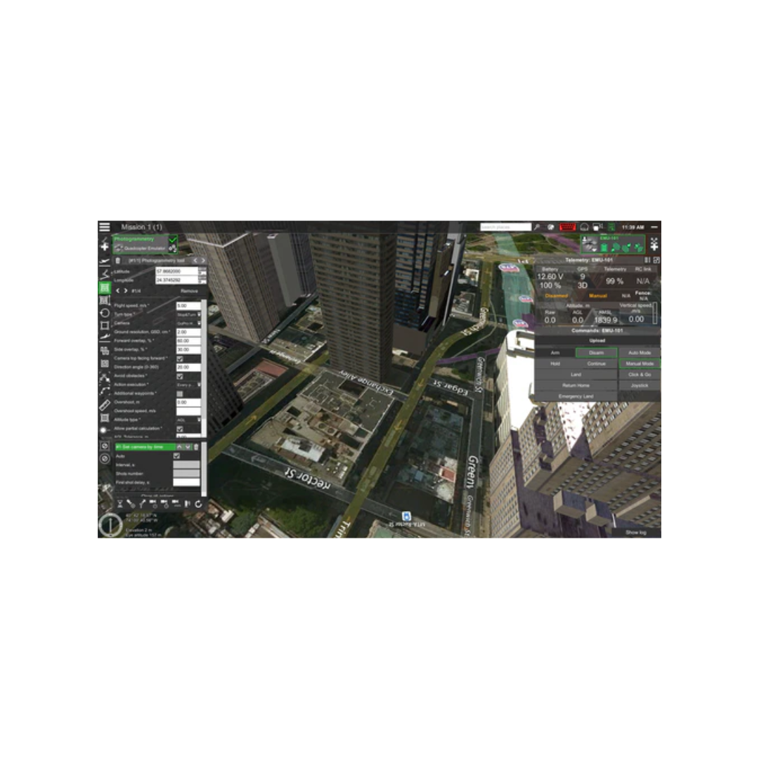
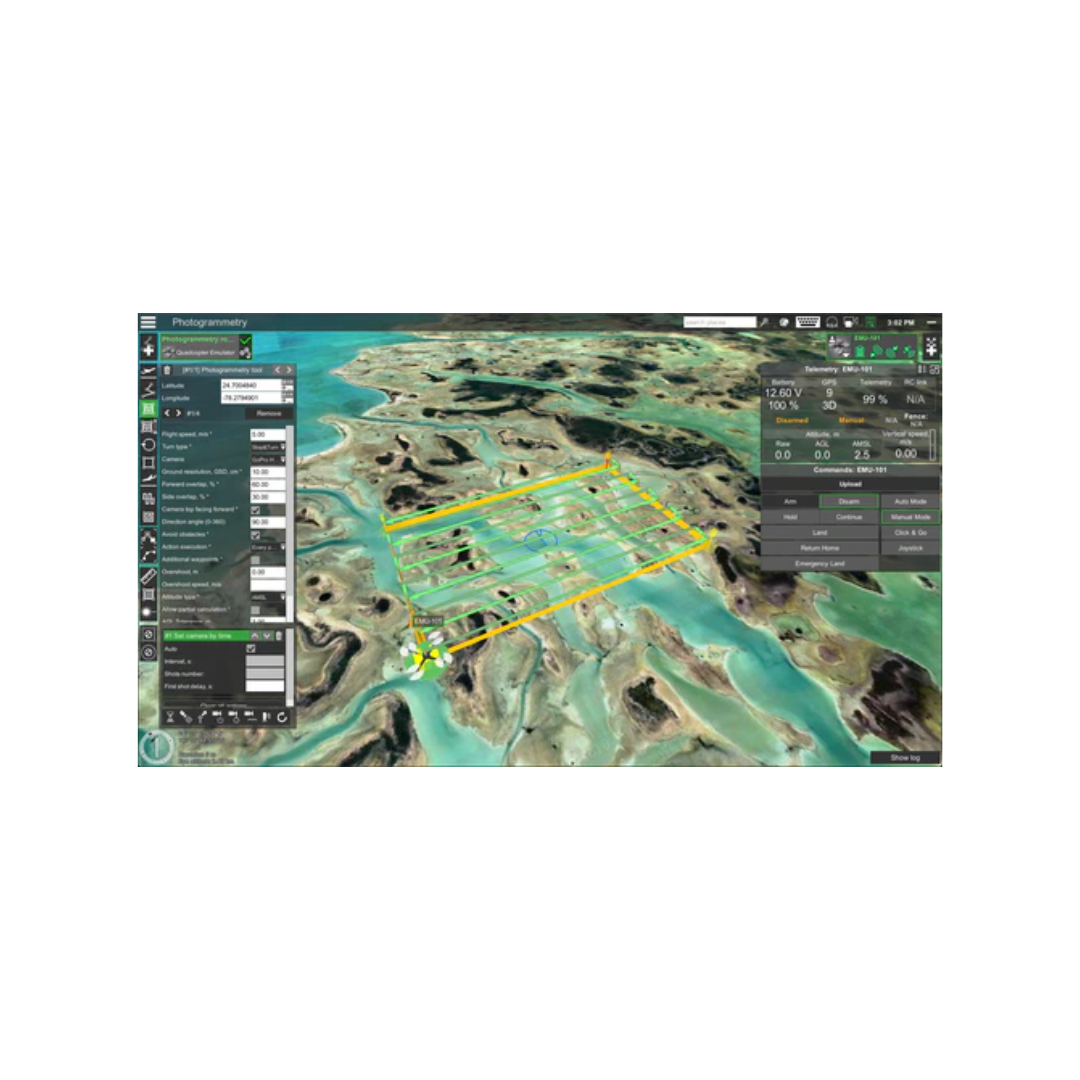
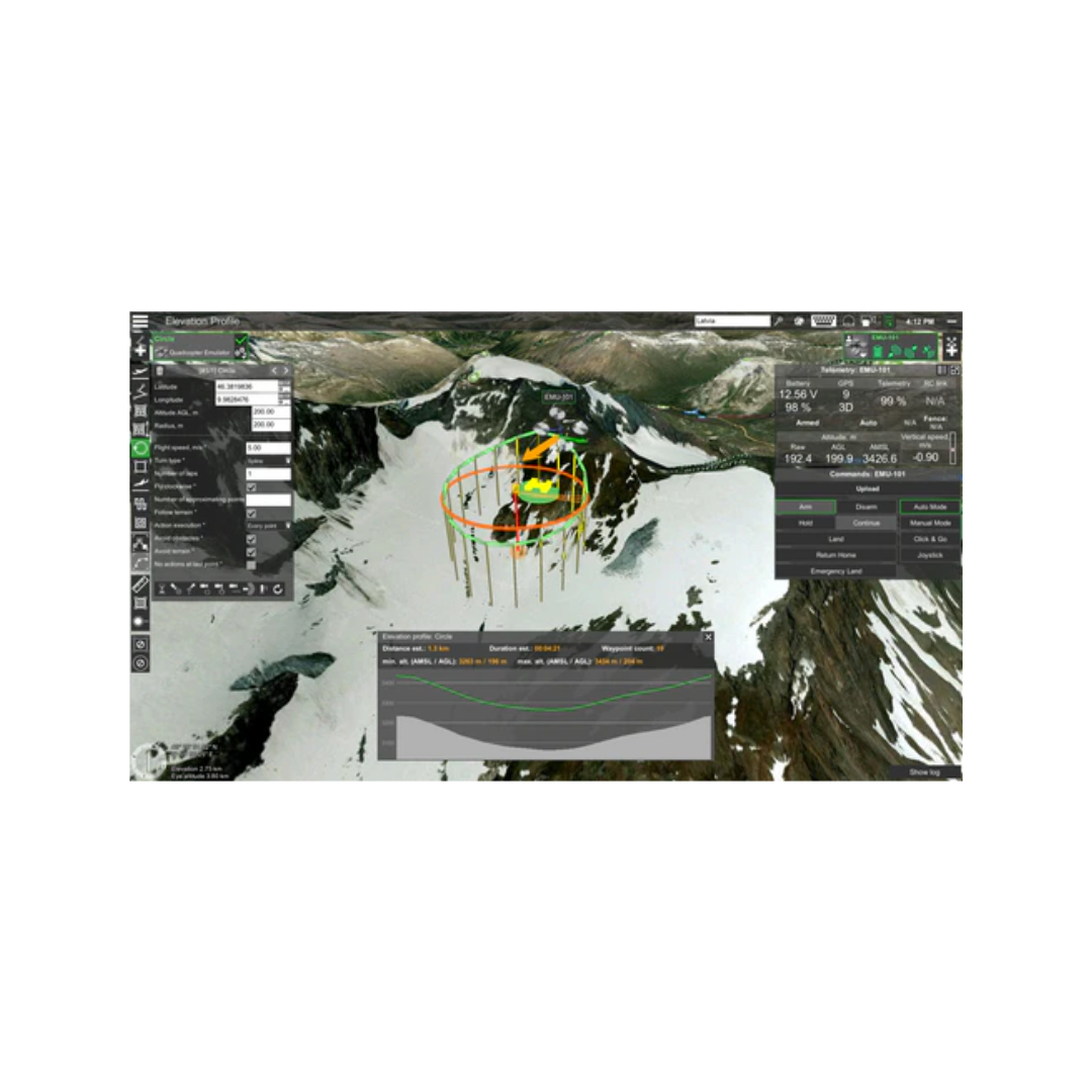
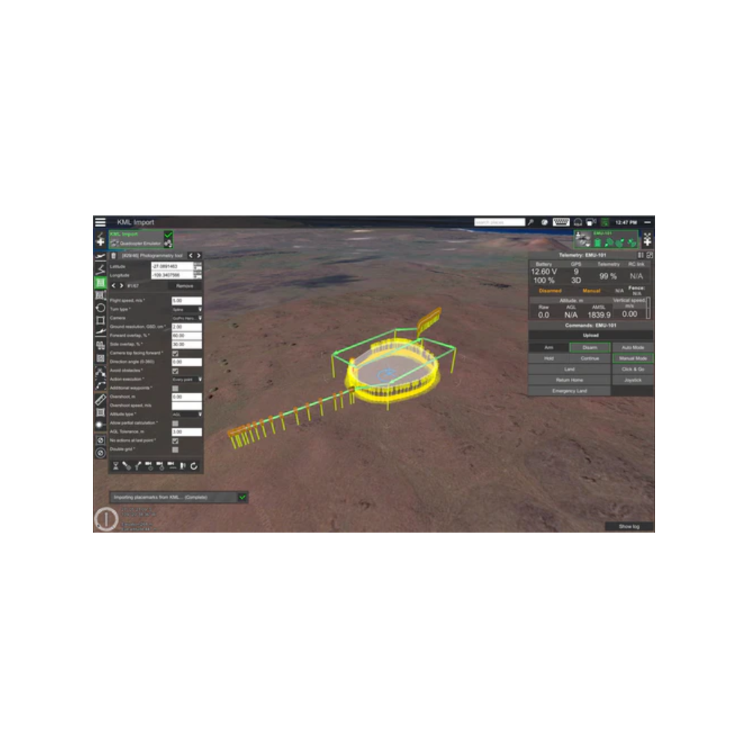
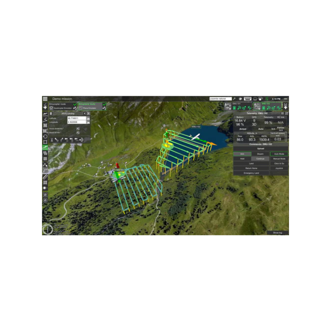
Waypoints, Linear, Circle, Perimeter, Area Scan tools
-
Automatic Photogrammetry, Vertical (Facade) scan, Corridor mapping, SAR tools
-
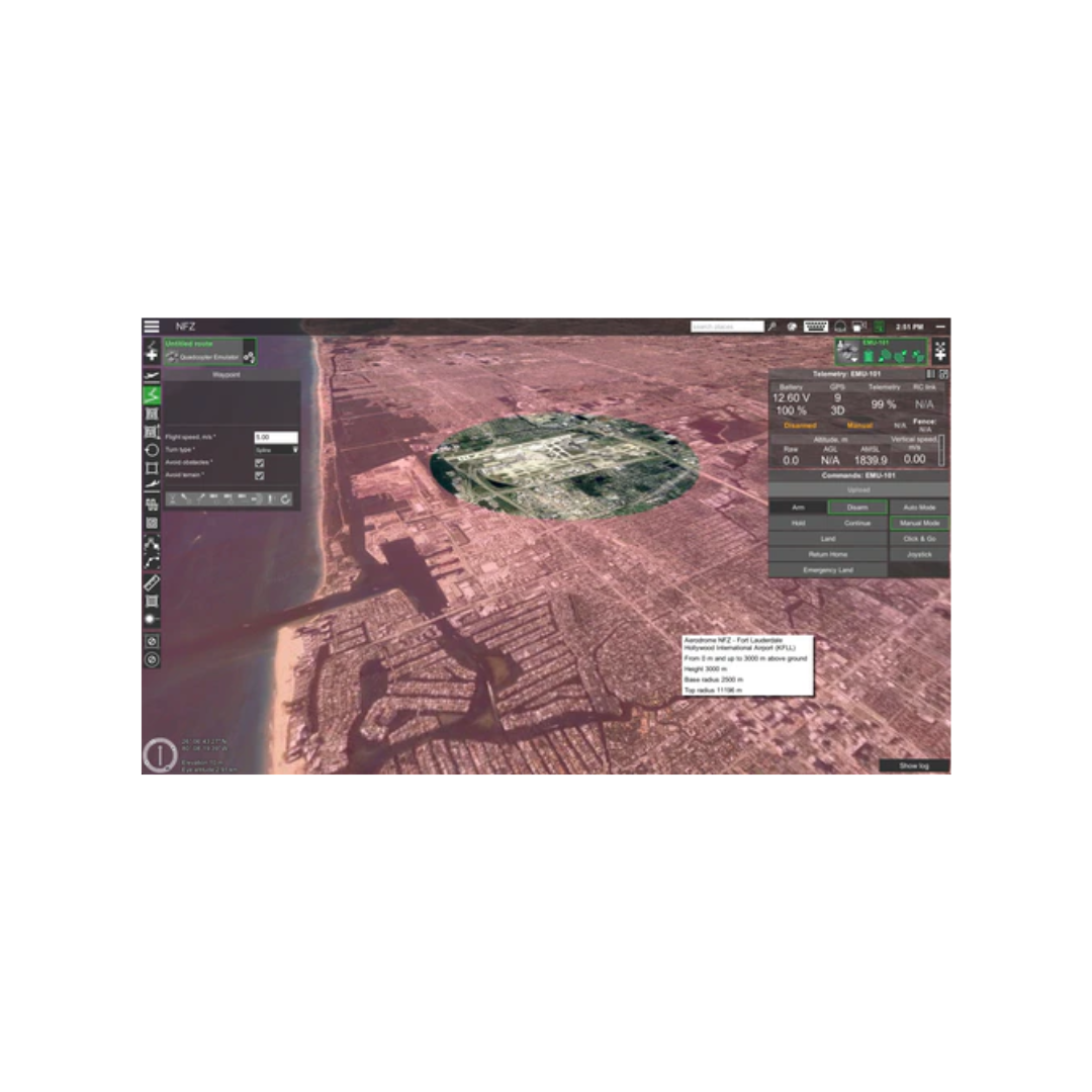
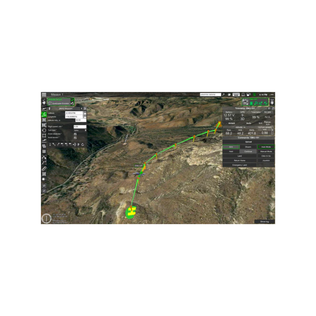
Immersive 3D mission planning environment
-
KML/CSV data import
-
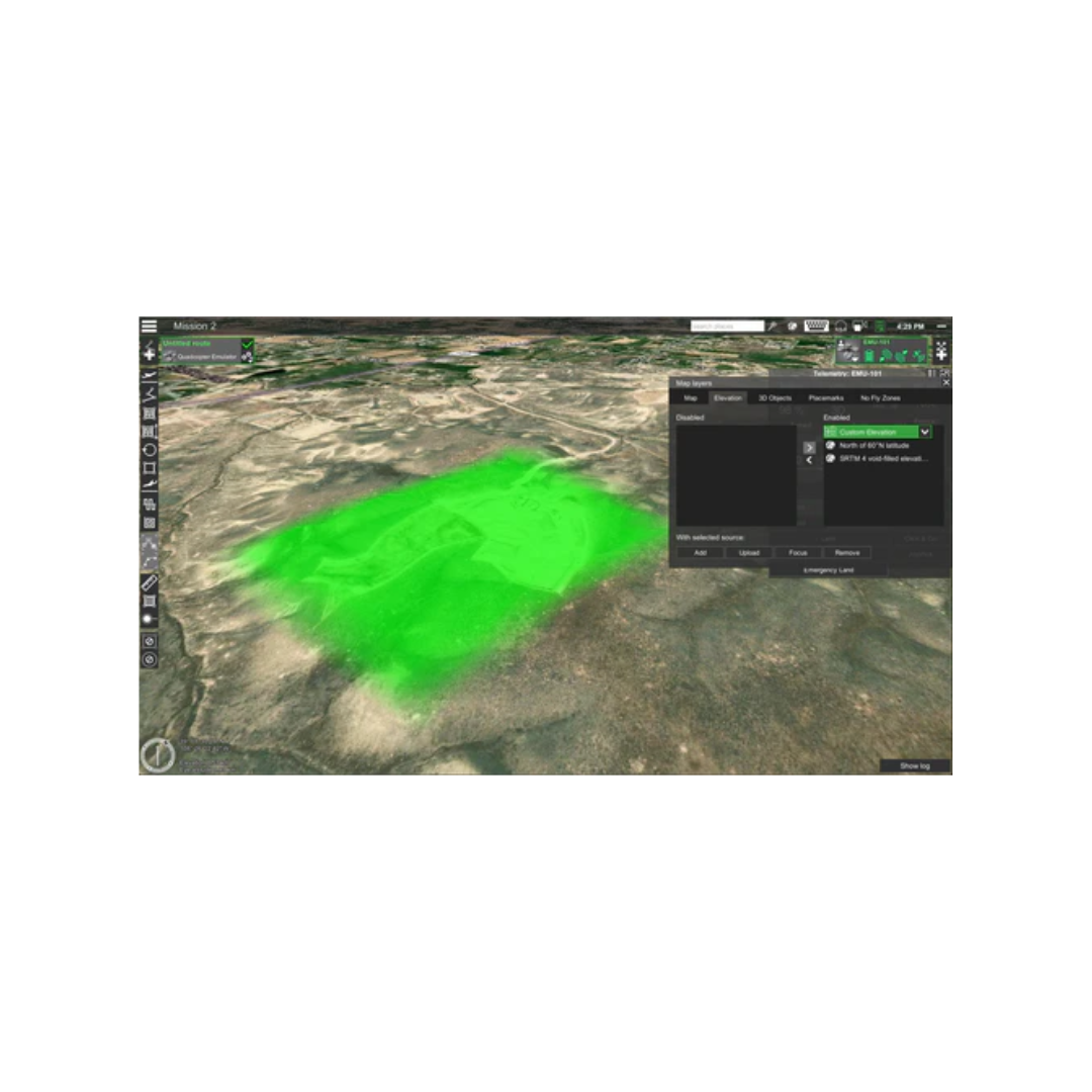
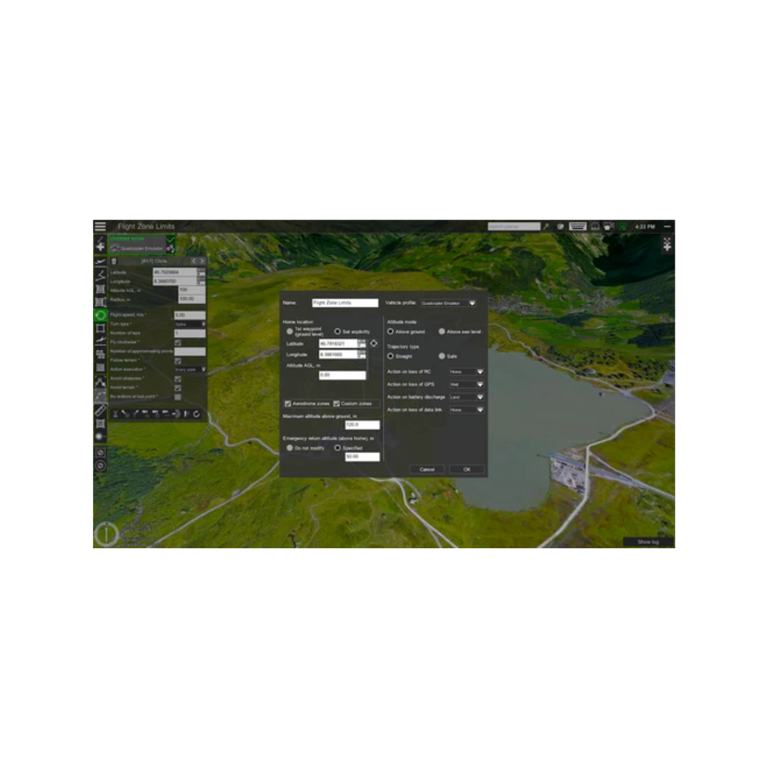
DEM import
-
Elevation profile & Terrain following mode
-
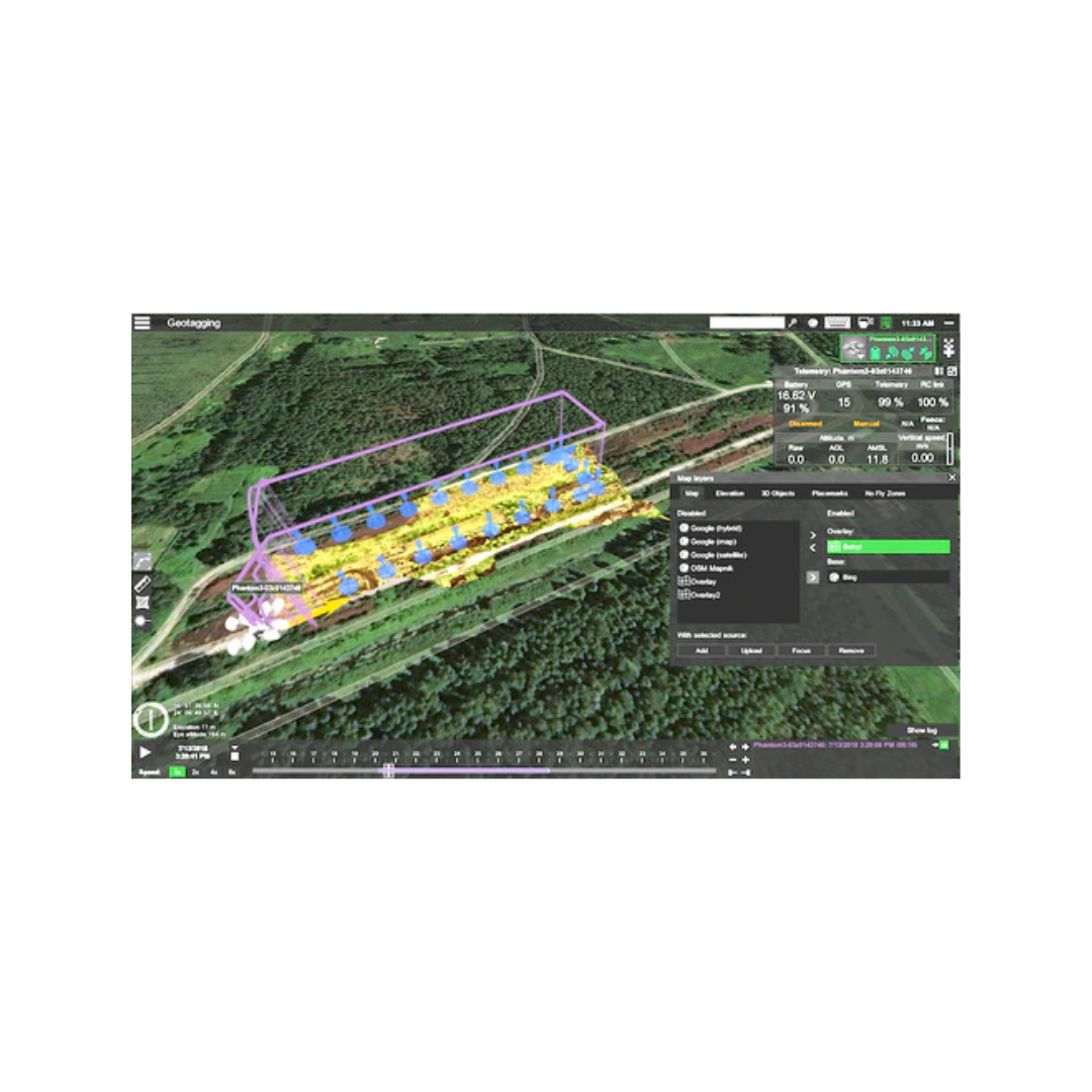
Geo-referenced image import
-
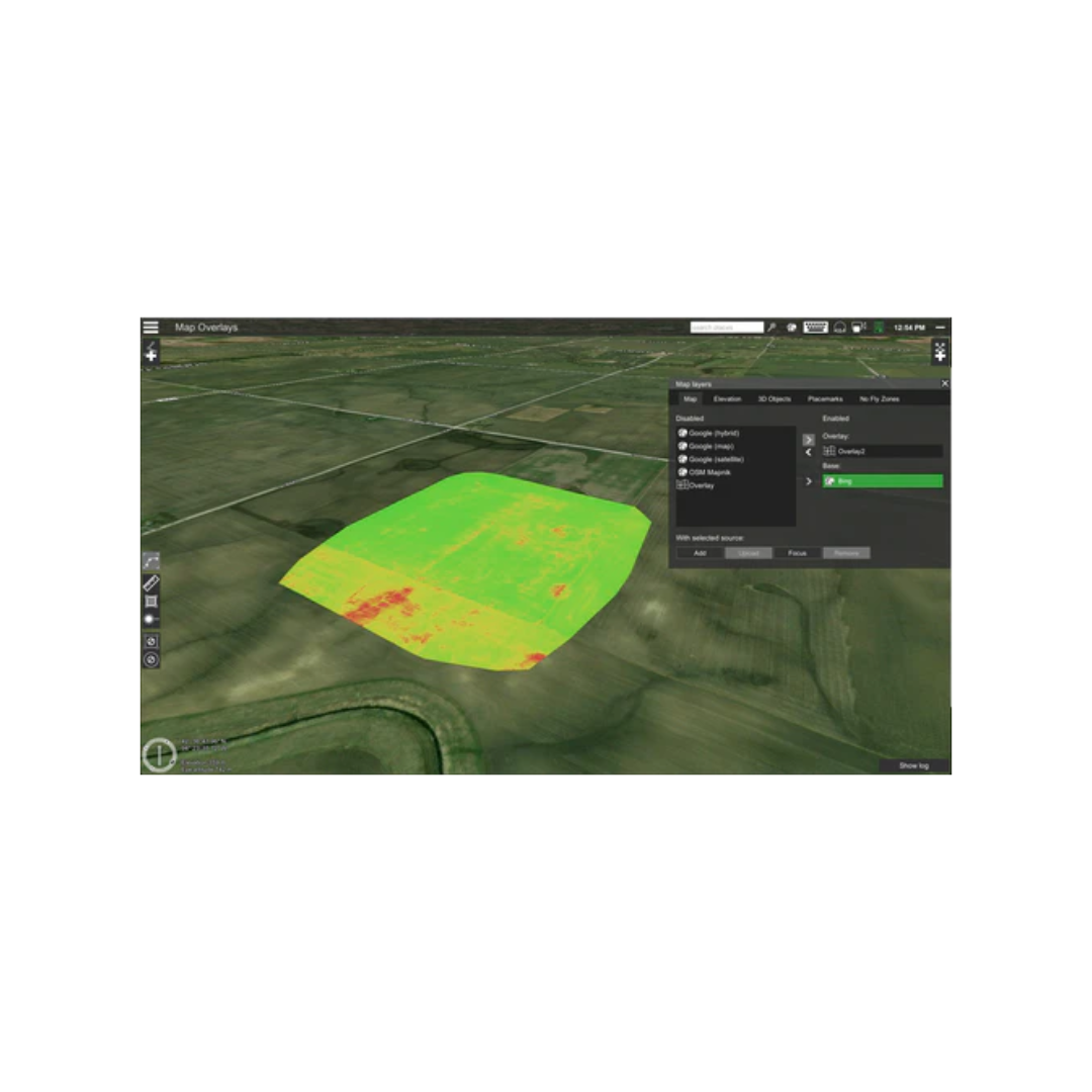
Custom map overlays
-
ADS-B Receiver
-
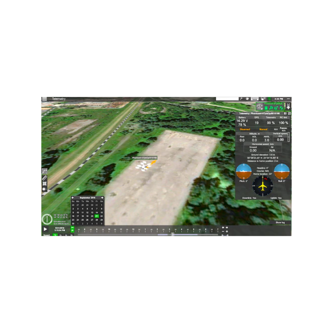
Video Transmitting
-
Compatible with UgCS Mapper to process images and create map overlays.
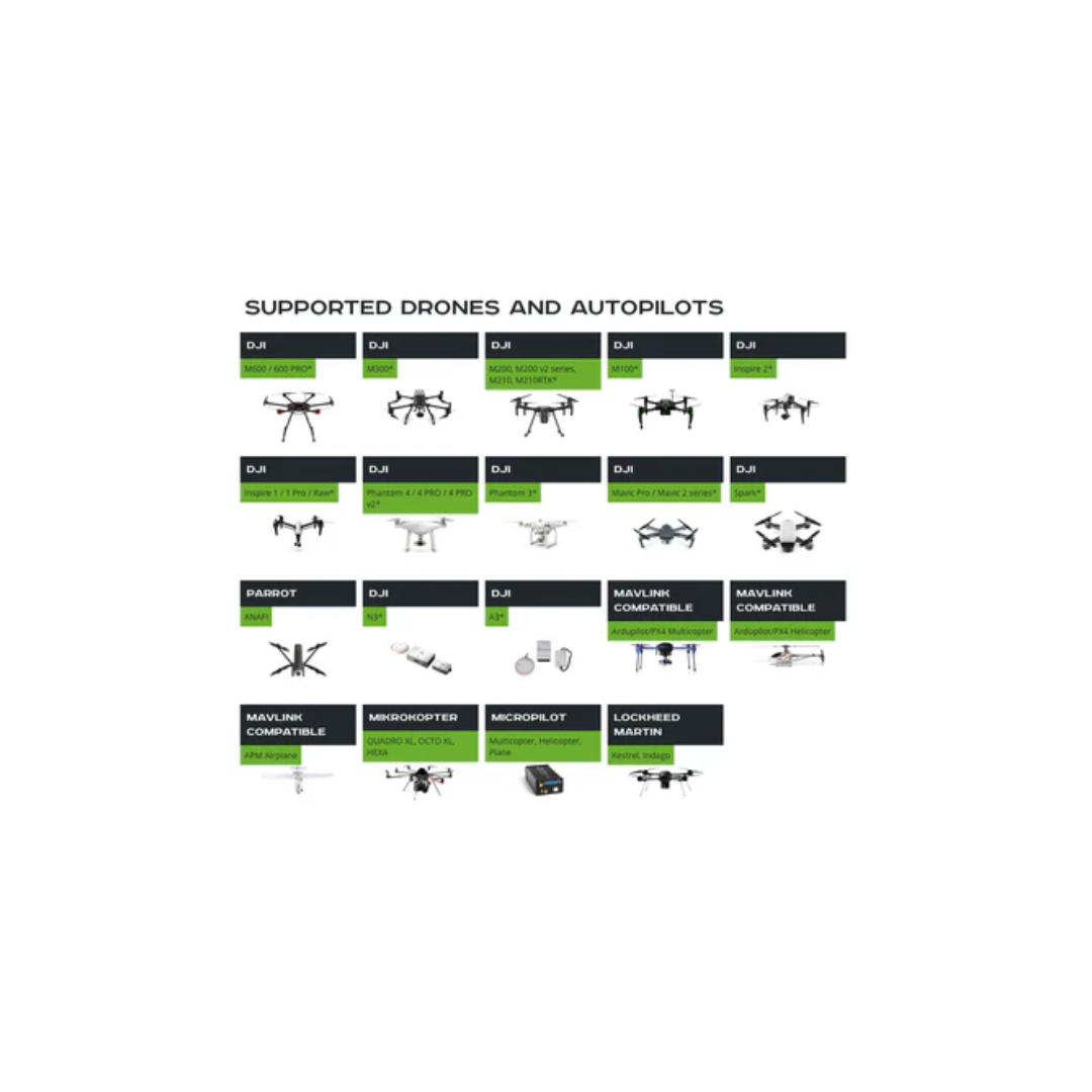
SUPPORTED DRONES AND AUTOPILOTS:
- Matrice 600/600 Pro
- Matrice 300
- Matrice 200/210/210RTK
- Matrice 100
- Inspire 2
- Inspire 1/1 Pro/Raw
- Phantom 4 RTK (SDK RC only)
- Phantom 4/4 Pro (excluding Agro)
- Phantom 3
- Mavic Pro/2 series
- Spark
- A3/N3
- ANAFI
- Ardupilot
- Px4
- and other
- EVO II (mission export for Autel Explorer)
- Micropilot
UGCS SYSTEM REQUIREMENTS
Operating system:
Windows 7 with SP1 or later; Windows 8; Windows 10 / 64-bit
Mac OS X Maverick 10.9 or later / 64-bit
Linux: Ubuntu 18.04 LTS / 64-bit
CPU
Core 2 Duo or Athlon X2 at 2.4 GHz
Memory
Recommended RAM: 4GB or more
Graphics hardware
Graphics card with DirectX 9 support (shader model 2.0). Any card made since 2004 should work
Hard drive
2 GB of free space
Minimum supported screen resolution: 1024x768
Payment & Security
Your payment information is processed securely. We do not store credit card details nor have access to your credit card information.
OUR PARTNER BRANDS


We are honored to have been awarded Sourcewell and Canoe contracts, enhancing procurement efficiency for government, education, and non-profit agencies across North America - View Details
You may also like
Recently viewed
FAQs
Yes, we provide FREE shipping across Canada for orders over $199. Orders under $199 have a flat rate of $25.
Repair service is eligible for free shipping if order value is over $300.
Delivery times depend on your location and the selected shipping method. Estimated delivery times and shipping options are provided at checkout.
If there are any manufacturing defects with your purchase, you may return the product within a specified period, provided it is unused and in its original packaging. We do not provide any returns on repairs parts.
As an authorized distributor, our products typically come with a manufacturer's warranty that covers manufacturing defects for a specified period. The exact duration and terms may vary by product. Please refer to the product details for more information.
Our customer support team is available to assist you with any technical issues or service needs. You can simply reach out to us, and we'll guide you through troubleshooting steps or arrange for service if necessary.
Yes, we recommend reviewing the safety instructions provided with your product. Additionally, ensure compliance with local regulations and best practices to ensure safe and proper use.
Yes, we offer pre-orders for select upcoming products. Pre-order availability, estimated release dates, and any exclusive offers are listed on the respective product pages.
We offer special pricing and support for business customers or bulk orders. Please contact our sales team for customized quotes and additional information.
If you still have any questions, you can contact us below and we will get back to you as soon as possible.